- Volume 46 | Permalink

CyArk.org is an online library of 3D spatial data collected from cultural heritage sites around the world. The CyArk team’s mission is to preserve cultural heritage for future generations, specifically those sites at risk of damage from human actions, natural phenomena, and the general ravages of time. CyArk has set an ambitious goal: to document five hundred sites within five years.
With forty sites complete so far, there is already an incredible wealth of information for online visitors to peruse at no cost. The CyArk (short for Cyber Ark) website allows the visitor to explore a list of completed projects, with filters to find sites by country or by historical period. The projects come from all over the globe, ranging from Mount Rushmore in South Dakota to Rani Ki Vav in India. Featured on the homepage are the projects that CyArk has deemed most urgent. In September 2016, these included Buddhist temples in Myanmar affected by earthquake and cultural sites in Syria and Iraq threatened by warfare and terrorism (fig 1).

Open-Source Technology
The technical aspects of CyArk’s work take center stage on the website, which features detailed information on the process of 3D mapping. Visitors can learn the basics of the process in an easy-to-follow explanation and accompanying visuals. The first-time visitor quickly learns the steps involved in creating a three-dimensional representation of a cultural site. First, laser scanners measure millions of points on the surface, creating a point cloud. The points are connected to form a wireframe, or mesh, representing the complete surface. These details are then added to a 3D model via high-definition color photographs taken at the site, either on the ground or from the air. Once complete, this 3D creation can serve as a resource for studying a particular site now or in the future.
This focus on technological skills and tools is very useful for audiences hoping to learn about the cutting-edge imaging technology being used in this context. CyArk’s openness and desire to share technical knowledge make the website an impressive resource for many types of scholars internationally.
Context and Presentation
The contextual information on each project gives a good snapshot of its historic significance, but would be improved with a bit more depth. Noticeably, each project offers a slightly different array of supporting resources, and some projects offer a much more complete data set than others do. The lack of a robust and consistent set of metadata prevents visitors from making connections between separate projects, which could be incredibly useful in the large-scale study of cultural heritage sites (fig. 2, 3, 4).


There is also room for improvement in the way that data is presented. One consistent feature on each project page is a map, but it provides only the site location, as a pin in a satellite image of the earth (fig. 5). This feature would be far more effective if the visitor could see what surrounds the site, such as other historic sites, international borders, or cities nearby.

Each project page also includes a web-based 3D model of the cultural site. These models vary in quality, size, and accessibility. For example, the landing page for the Masjid Wazir Khan project places the viewer inside the courtyard of the mosque, invoking a sense of presence and providing access to the amazing details of the interior artwork (fig. 6). This stands in contrast to the 3D model of the Xiao Ling Courtyard Hall in the Eastern Qing Tombs, which provides an exterior view with a much lower level of detail (fig. 7). The data’s uneven quality almost certainly stems from the fact that different teams are working on the projects, but it is an issue that should be addressed.


Education
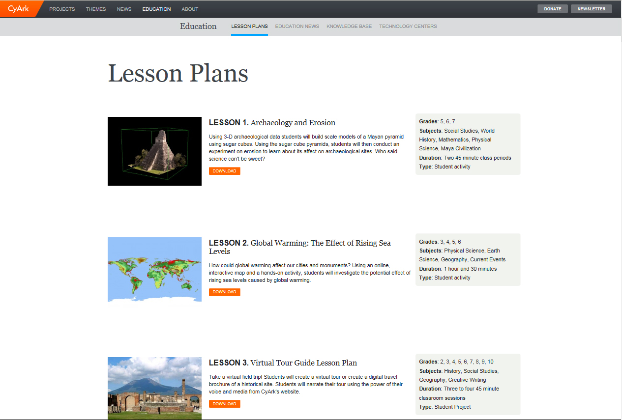
One of the highlights of CyArk’s website is the section on education (fig. 8). This area offers a wide variety of ways for students and teachers at all levels to make use of CyArk’s cutting-edge work. Lesson plans are available for elementary through twelfth-grade levels, covering topics from “Archaeology and Erosion” to “Digital Storytelling and Mapping and Measuring with Google Maps.” All lesson plans are labeled by subject and grade level, and are available as free downloads.
The CyArk Knowledge Base offers information on specific technologies for the visitor hoping to better understand the mechanics of digital imaging, such as remote sensing, GPS surveying, and HDR photography. Finally, the site offers an invitation for educational institutions to partner with CyArk as “Technology Centers.” Through these collaborations, CyArk works with educators to supplement existing curricula and build proficient local teams that can contribute to the immense task of documenting cultural heritage sites. This commitment to sharing information and building connections is CyArk’s greatest strength as an online resource.
In addition, CyArk is working to build a community of highly skilled scholars and technicians by conducting training and education in remote parts of the world, building local capacity to continue and expand upon the organization’s work. The open-source nature of CyArk’s process and resulting products opens the door to incredible possibilities for scholars to work across disciplines.
Overall, CyArk is approaching an almost unfathomably large project with the latest digital tools and a spirit of sharing that will benefit learners of all kinds. It will be fascinating to see how the organization’s methodologies evolve as it draws closer to the goal of digitally documenting five hundred cultural sites. If the team can successfully navigate the challenge of providing robust, consistent interpretive resources for a wide range of projects, CyArk.org will be a valuable research tool that can open doors for scholars and communities long into the future.
 Joanna Epstein is a trained historian and an MA candidate in the museum studies program at New York University. Her research is focused on historic sites and sites of memory, with a focus on African American history and the civil rights movement. She contributed research to the Freer|Sackler's Telling the Sogdian Story, a digital project centered on the Sogdian people and Silk Road trade routes. She worked previously in educational programming for the Gilder Lehrman Institute of American History, a nonprofit in New York City providing curricular support to K–12 teachers and students. She received her BA in history from McGill University in 2006.
Ars Orientalis Volume 46
Permalink: https://doi.org/10.3998/ars.13441566.0046.012
For more information, read Michigan Publishing's access and usage policy.